Everglades
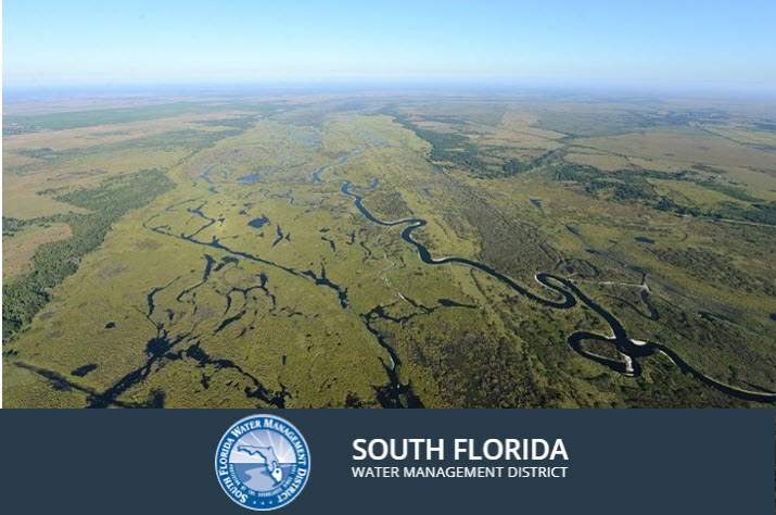
Located in southern Florida, the Everglades is often referred to as the “River of Grass” due to the flow of surface waters that spread over broad expanses of saw grass that are characteristic of the lowlands.
The Florida Everglades has a cultural and natural history that extends far back in time. In fact, humans inhabited the land thousands of years ago when the Everglades consisted of more than 5 million acres, from Lake Okeechobee to Florida Bay.
The Everglades is a subtropical wetland with significant biodiversity importance, and provide homes to countless plants and animals. Although the Everglades was reduced in size during the early part of the 20th century to allow settlers to build homes and harvest crops, a tremendous amount of effort has been put forth to try and protect the remaining wetlands.

EVERGLADES RESTORATION
This restoration initiative represents a portfolio of projects that are focused on improving water quality and restoring the hydrology and ecology of the Everglades ecosystem.
DEP's Office of Water Policy and Ecosystems Restoration plays a key role in this restoration initiative by ensuring effective implementation of DEP’s policy, programmatic, technical and regulatory responsibilities under the Everglades Forever Act, Restoration Strategies, the Comprehensive Everglades Restoration Plan, the Northern Everglades and Estuaries Protection Program and related efforts.

South Florida Environmental Report
The 2025 South Florida Environmental Report (SFER) documents an important year of restoration, scientific and engineering accomplishments in the Kissimmee Basin, Lake Okeechobee, Everglades and South Florida coastal areas. The report also provides extensive peer reviewed research summaries, data analyses, financial updates and a searchable database of environmental projects.
The report covers environmental information for Water Year 2024 (May 1, 2023 - April 30, 2024) and project/budgetary information for the South Florida Water Management District Fiscal Year 2025 (Oct. 1, 2024 - Sept. 30, 2025). Download the report highlights or view the full 3,125-page report below.

Kissimmee River Project
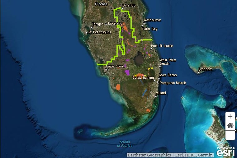
The Kissimmee Basin forms the headwaters of Lake Okeechobee and the Everglades. Together they comprise the Kissimmee-Okeechobee-Everglades (KOE) system. In the 1960s, the Central and Southern Florida Flood Control project modified the native KOE system extensively throughout South Florida, including construction of canals and water control structures to achieve flood control in the upper and lower Kissimmee basins.
There are several major restoration initiatives that are ongoing in the Kissimmee Basin. A number of activities are associated with these initiatives, including ecosystem restoration, evaluation of restoration efforts, aquatic plant management, land management, water quality improvement and water supply planning.